Environnement
-
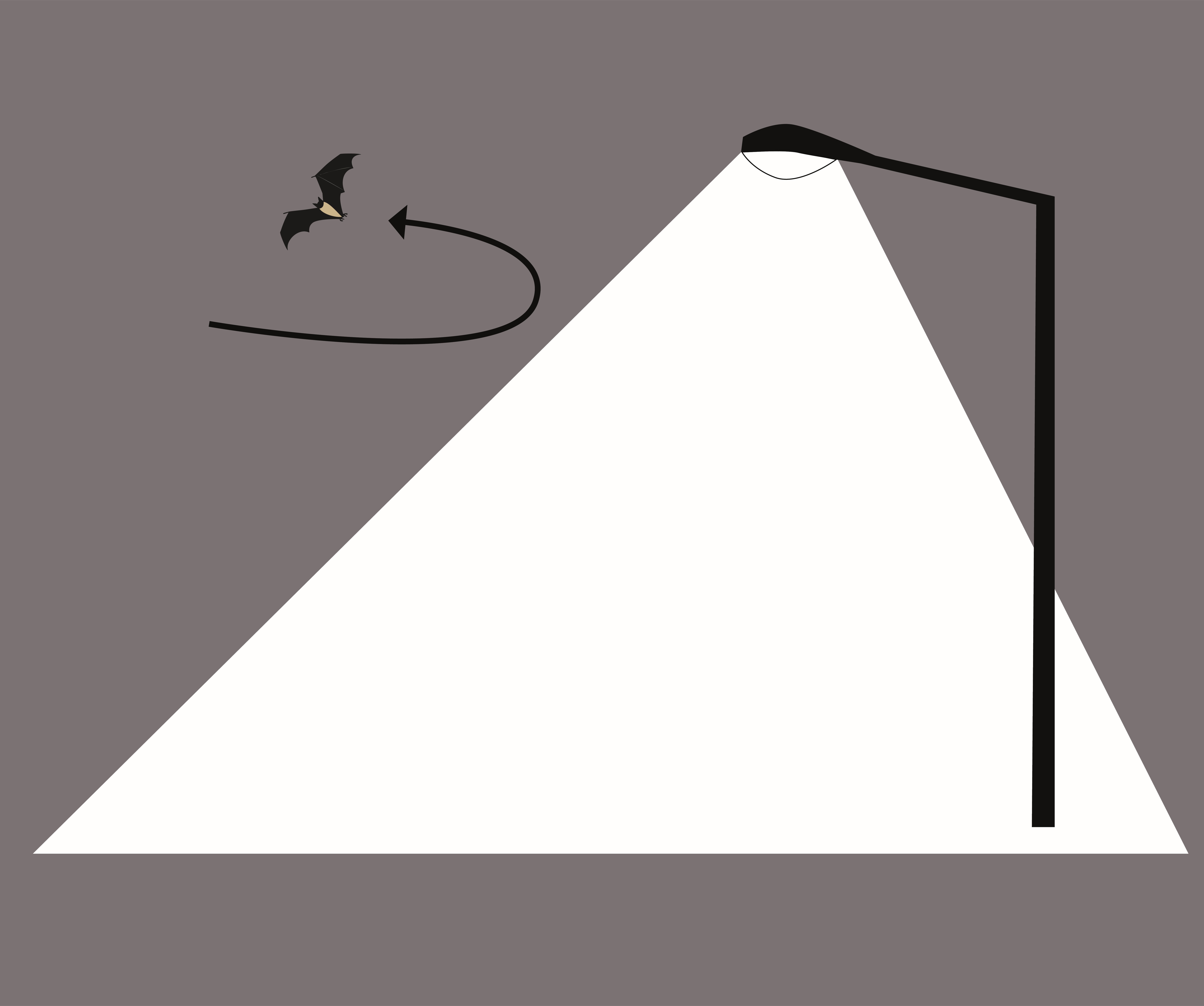
Points lumineux proches des zones d'enjeux naturels
-
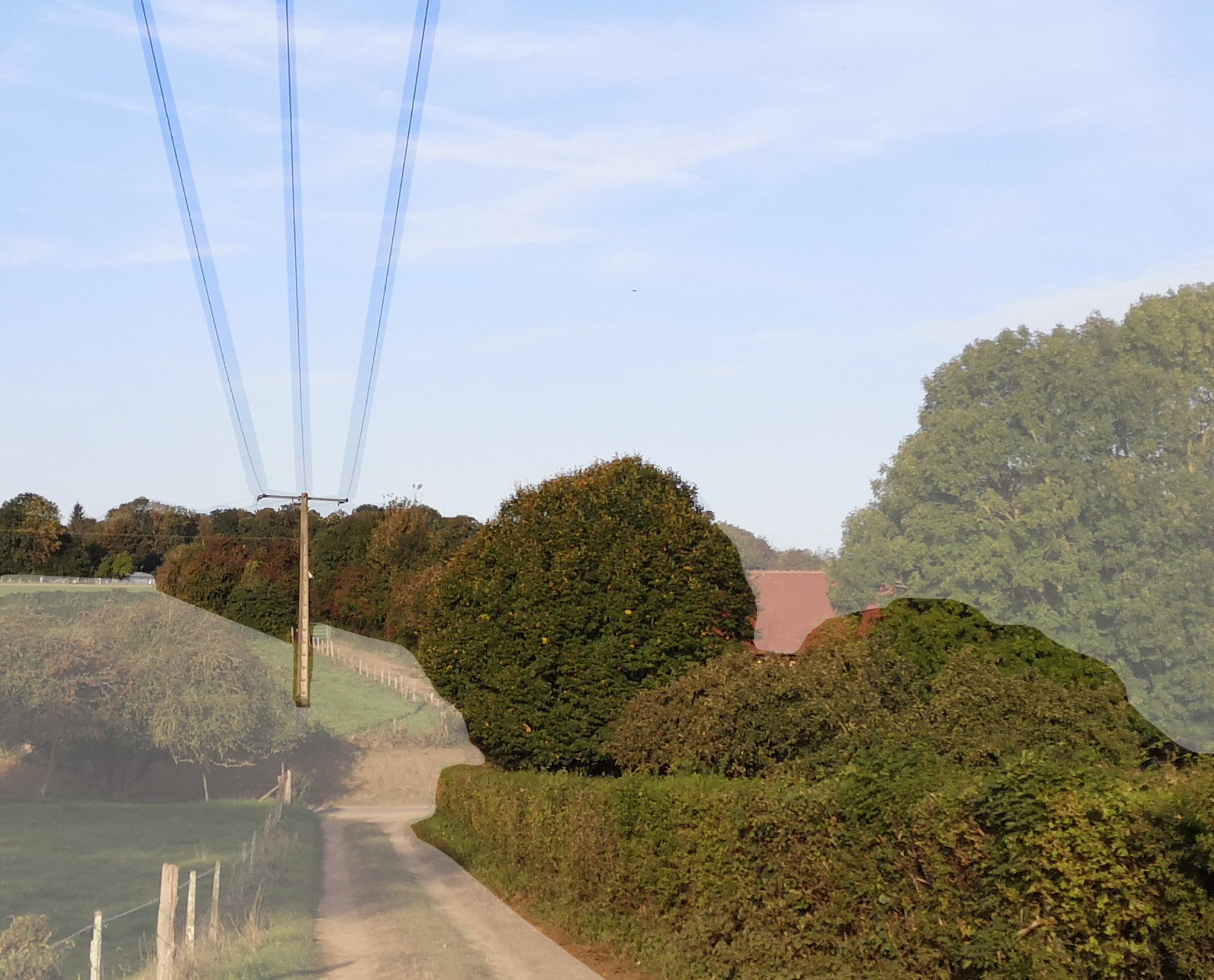
Haies et enjeux naturels de Picardie maritime en lien avec les lignes aériennes du réseau Enedis
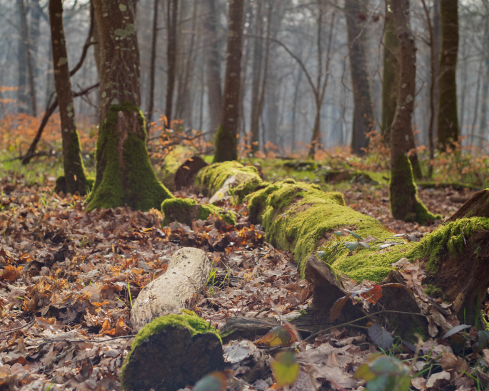
Paysage
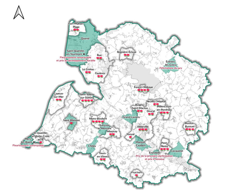
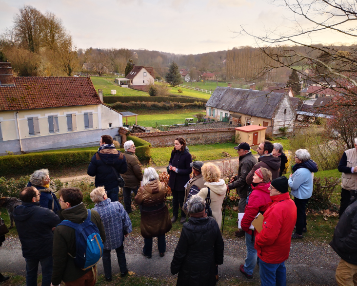
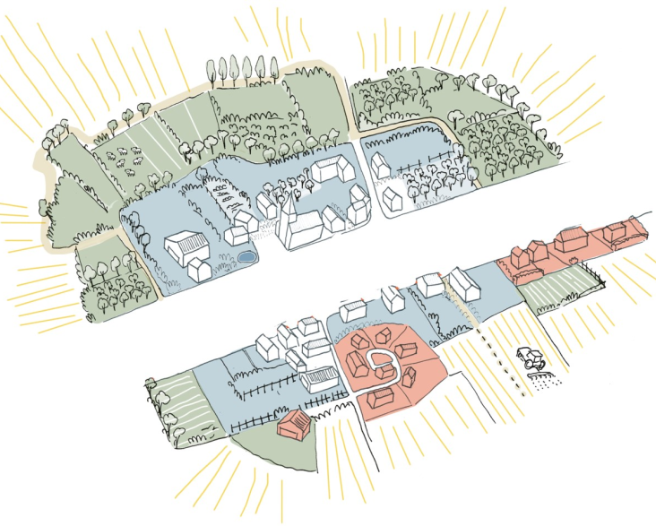
Le Parc naturel régional
-
Avis document cadre Chambre d'agriculture et parking - photovoltaïque au sol et ombrières
-
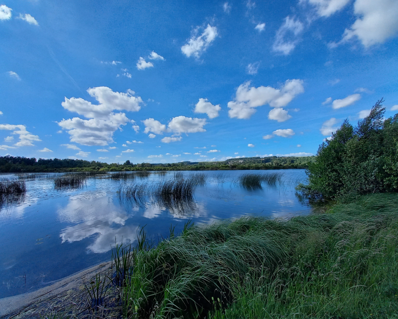
Sites naturels - propriété et gestion
-
Territoire et grands projets de Baie de Somme 3 Vallées
-
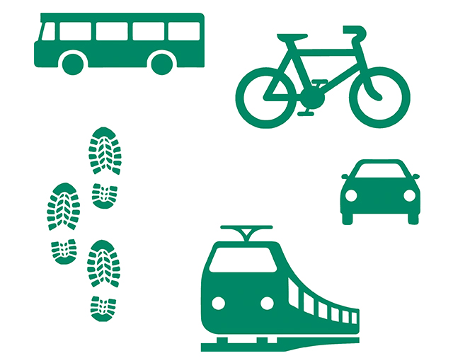
La mobilité sur le territoire du Parc naturel régional
-
Propositions de plantation Trame verte et Chemins ruraux
-
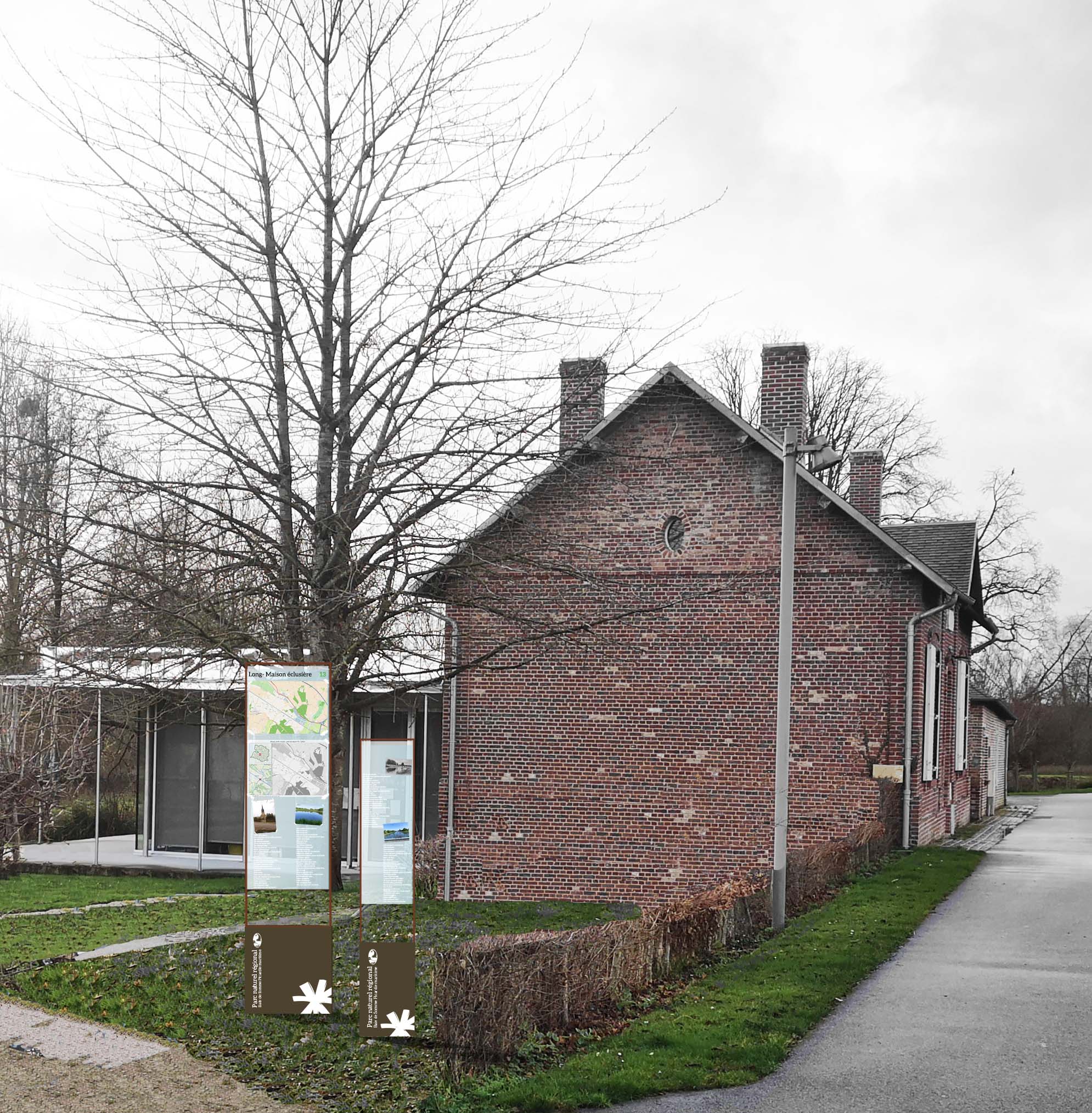
Publications du Parc naturel régional sur les communes et leurs patrimoines


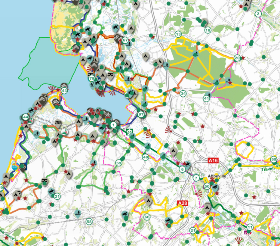
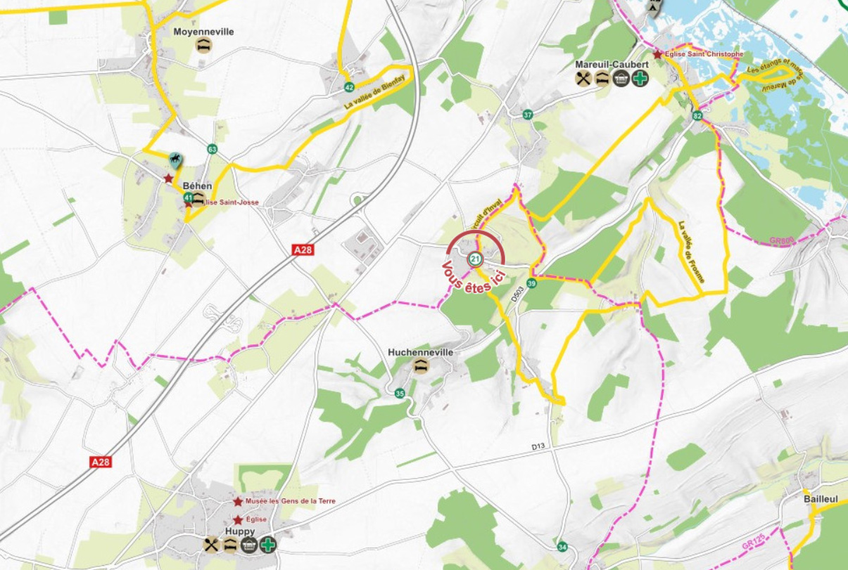
Réseau Points Nœuds
Fond de carte
- Titre
- Zonages, servitudes et autres périmètres
- Description
- Dessinez le polygone de votre projet et découvrez s'il est situé dans un zonage règlementaire (Natura 2000, Ramsar, Monument Historique, PPRI, site classé...)
- Projection
- EPSG:2154
- Emprise
- 570145.59645154792815447, 6972168.75928068347275257, 665312.66829167841933668, 7048589.35264778323471546