Environnement
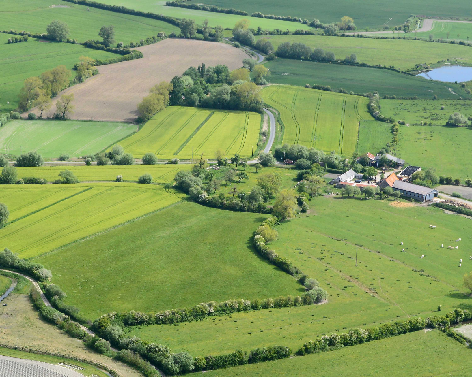
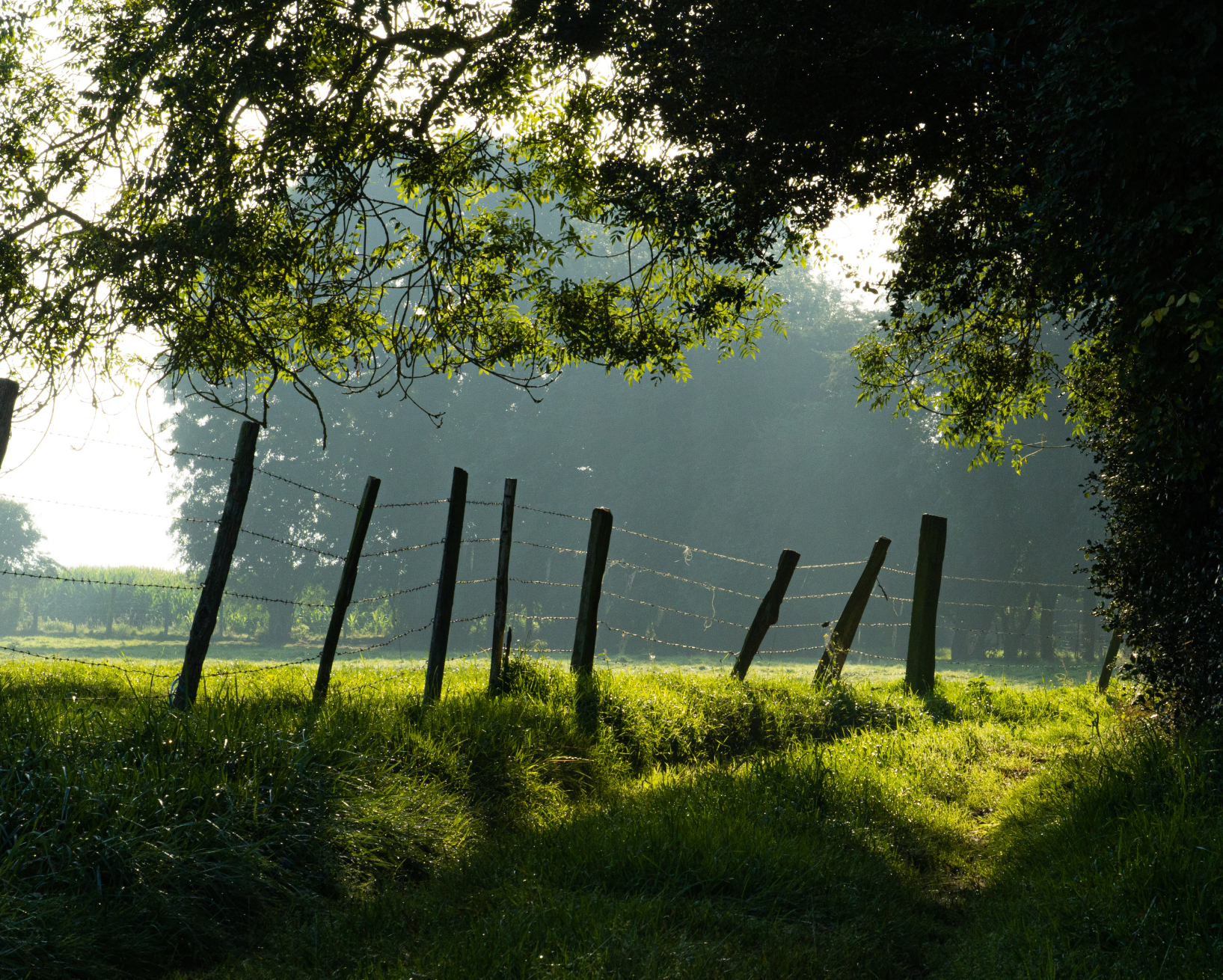
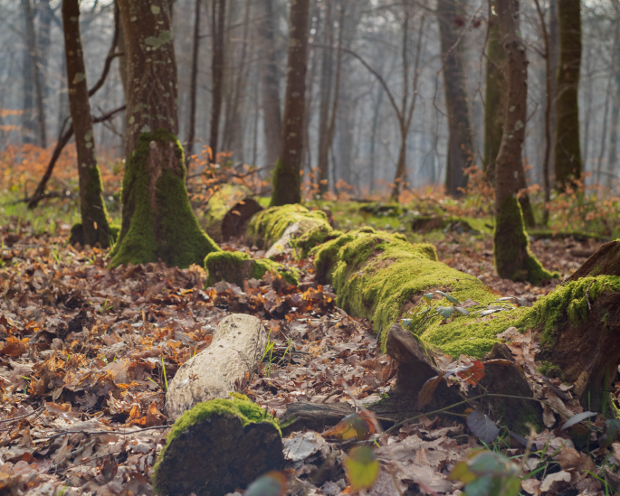
Paysage
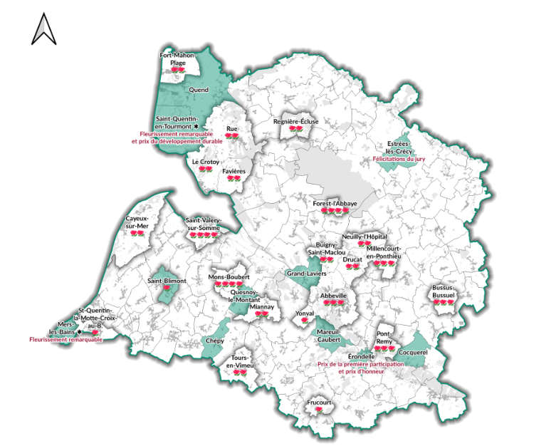
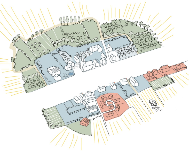
Le Parc naturel régional
-
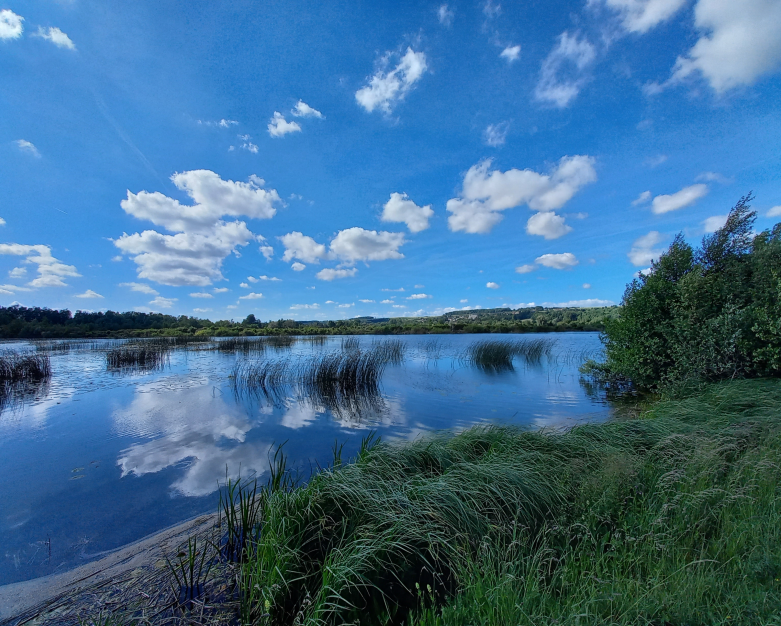
Sites naturels - propriété et gestion
-
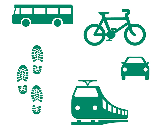
La mobilité sur le territoire du Parc naturel régional
-
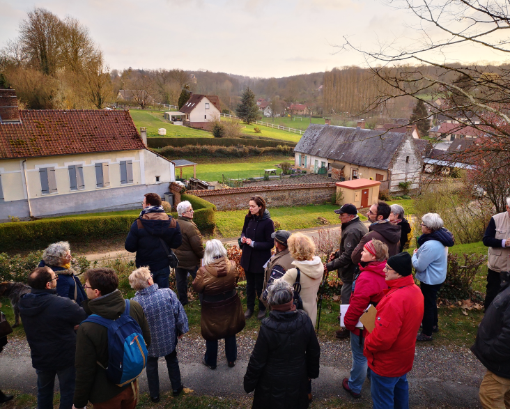
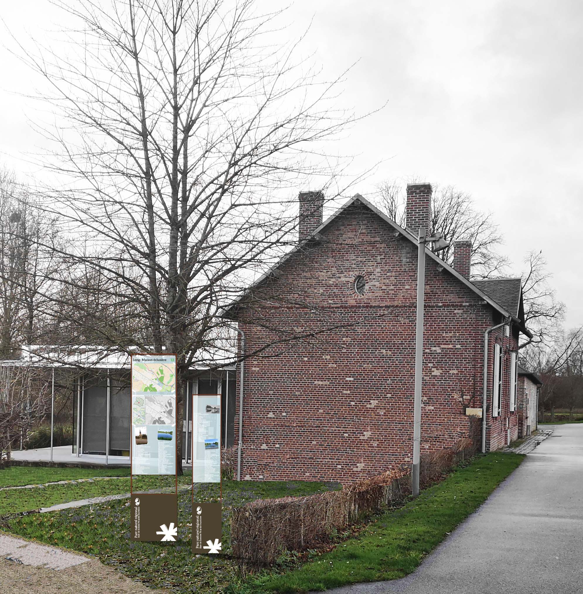
Publications du Parc naturel régional sur les communes et leurs patrimoines
-
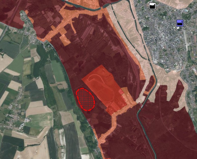
Zonages, servitudes et autres périmètres

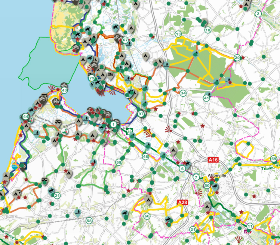
Réseau Points Nœuds
Fond de carte
- Titre
- Carte contributive du réseau Points Nœuds
- Description
- Projet collaboratif autour de la cartographie touristique du Réseau points nœuds. Les utilisateurs autorisés peuvent ajouter des commentaires ou de nouveaux points d'intérêts à la carte.
- Structure
- Parc naturel régional Baie de Somme - Picardie maritime
- Personne
- Chevallier F.
- Courriel
- f.chevallier (at) baiedesomme3vallees.fr
- Site internet
- www.baiedesomme3vallees.fr
- Projection
- EPSG:2154
- Emprise
- 576742.9841999999480322, 6978242.67279999982565641, 648793.71680000005289912, 7035477.33930000010877848