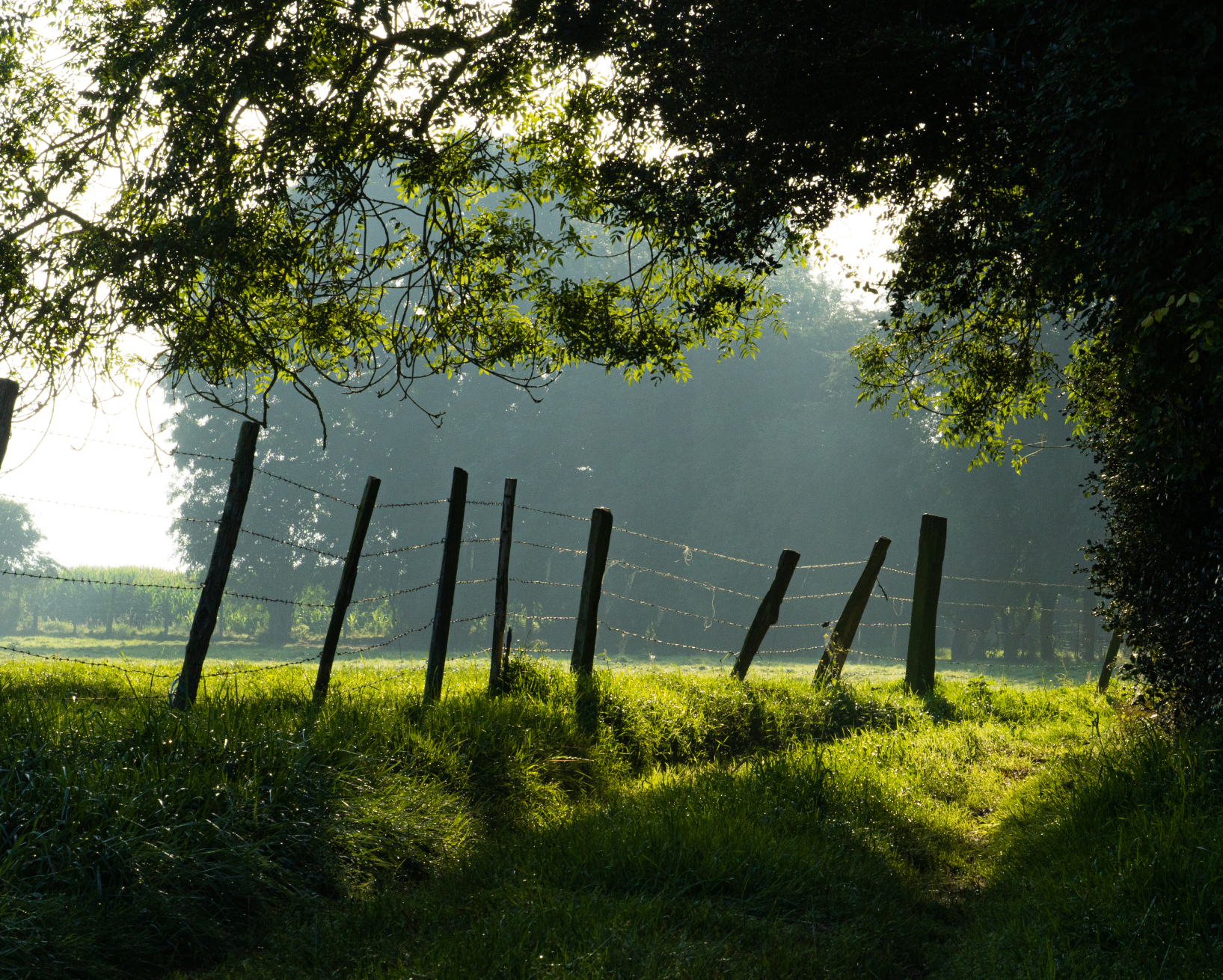
Environnement
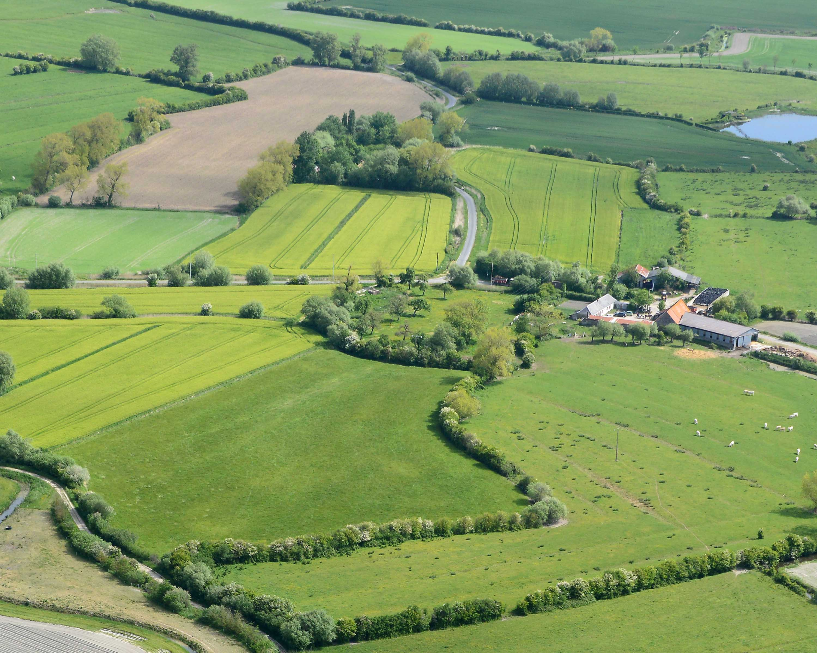
Paysage
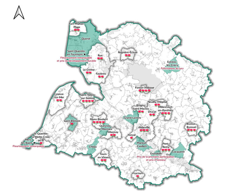
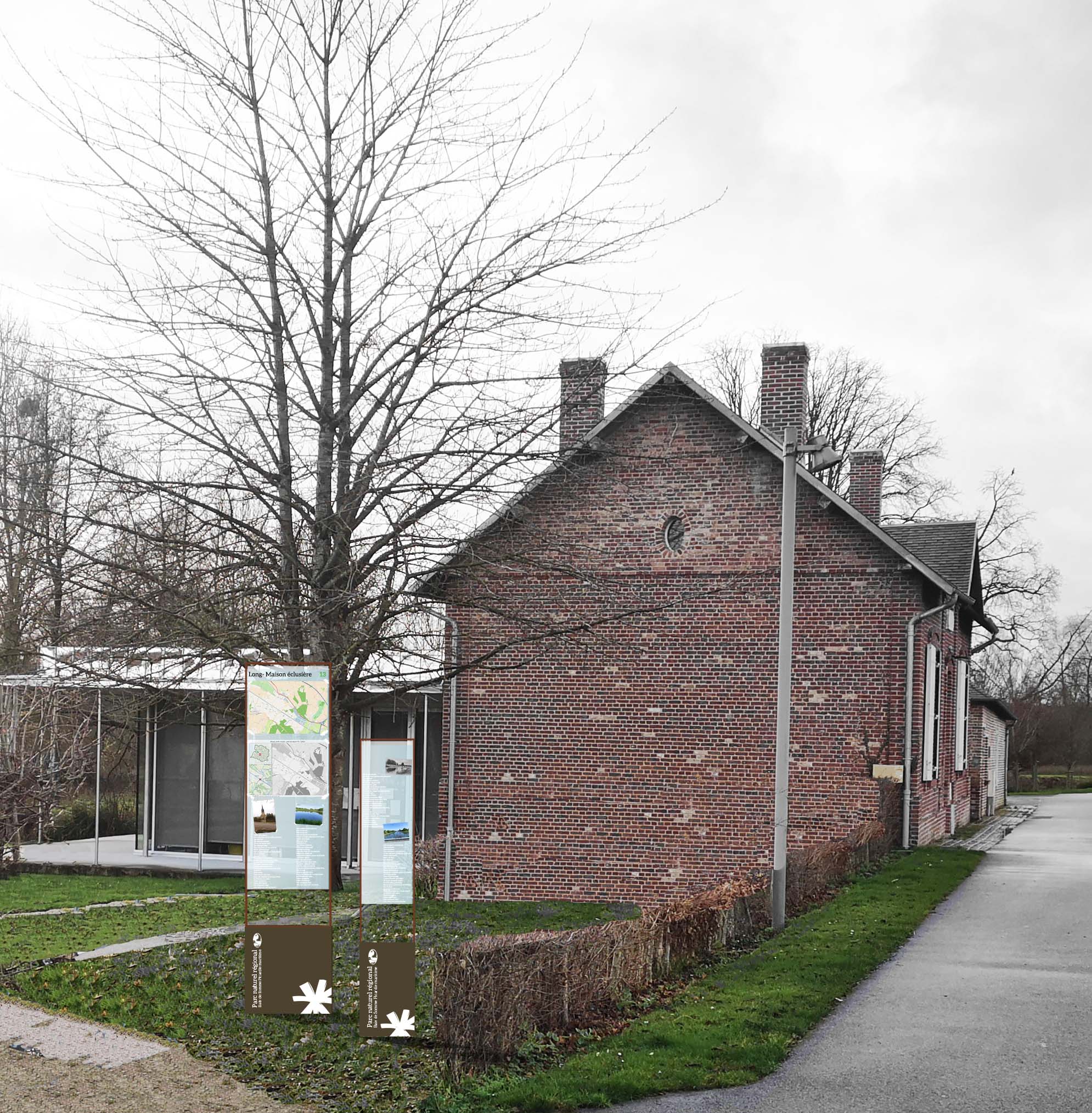
Le Parc naturel régional
-
Sites naturels - propriété et gestion
-
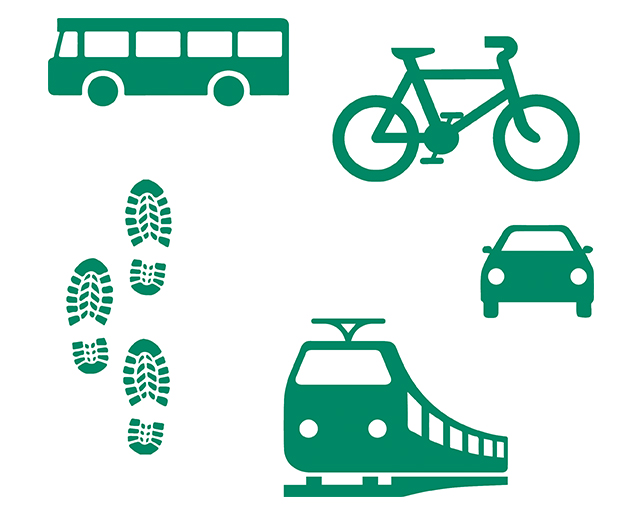
La mobilité sur le territoire du Parc naturel régional
-
Publications du Parc naturel régional sur les communes et leurs patrimoines
-
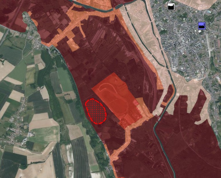
Zonages, servitudes et autres périmètres
Réseau Points Nœuds
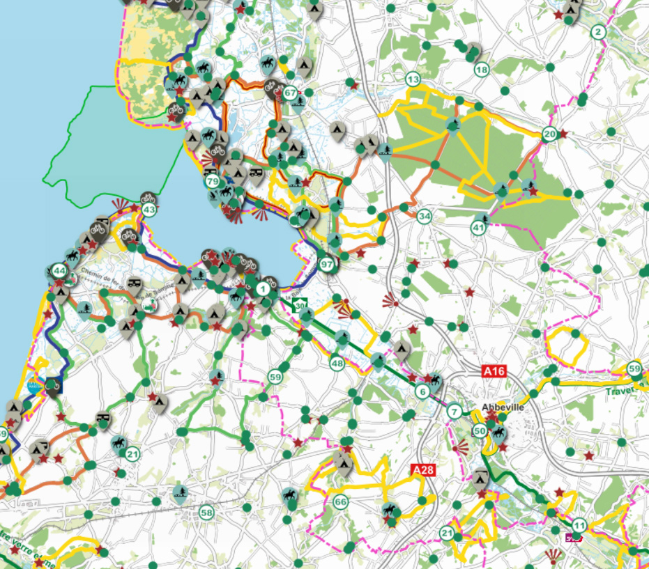
Fond de carte
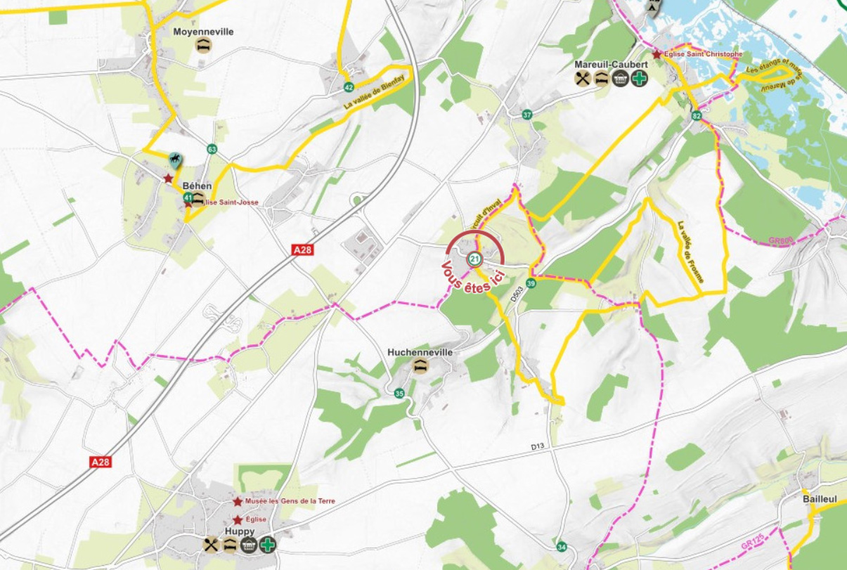
- Titre
- Itinéraires des villages-courtils
- Projection
- EPSG:2154
- Emprise
- 615045.13356852193828672, 7002908.07276789378374815, 634872.98641744477208704, 7016265.96014250535517931